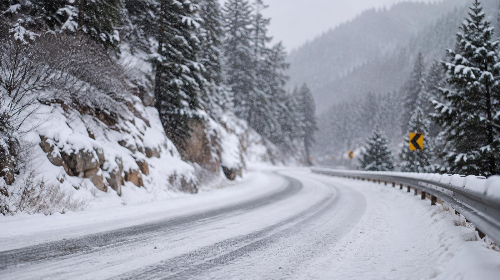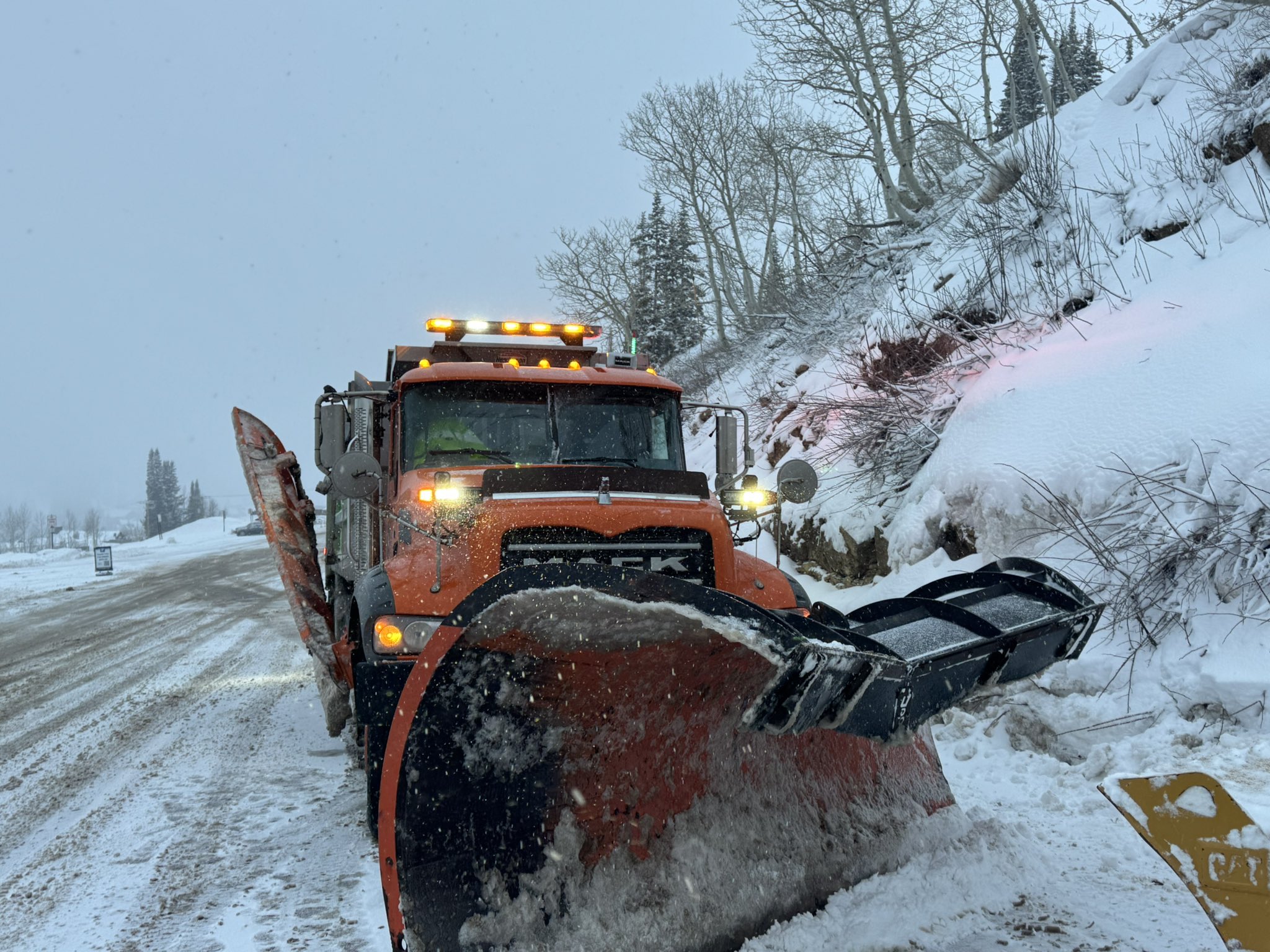
Snow is heading for the Wasatch canyons near Sandy, and the NWS warned of difficult travel on mountain routes. The National Weather Service in Salt Lake City issued a Winter Weather Advisory covering 11 a.m. Tuesday, Nov. 17, through 11 a.m. Wednesday, Nov. 18.
The advisory calls for 4 to 8 inches of snow above 8,000 feet in the Wasatch Mountains. The Upper Cottonwoods could see locally higher amounts exceeding 12 inches, according to the NWS.
The Wasatch Back, including Park City and the Ogden valley, is expected to receive 1 to 4 inches.
Hazardous conditions will affect the Tuesday evening and Wednesday morning commutes on higher passes such as Parleys Summit, the NWS said.
A canyon road forecast for SR-190 and SR-210 posted Nov. 16 predicted snow starting around 10 a.m. Nov. 17, with road snow likely and slush in mid canyons. Lower canyons were expected to remain wet.
The NWS advised drivers to slow down and use caution. Winter road conditions are available through the Utah Department of Transportation's traffic website.