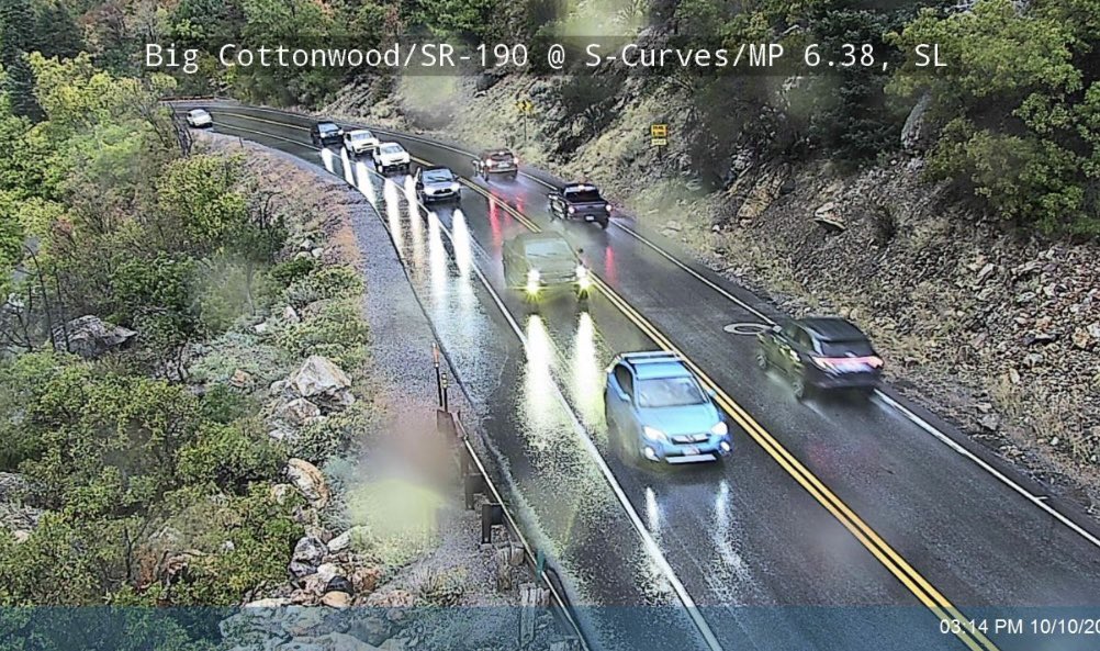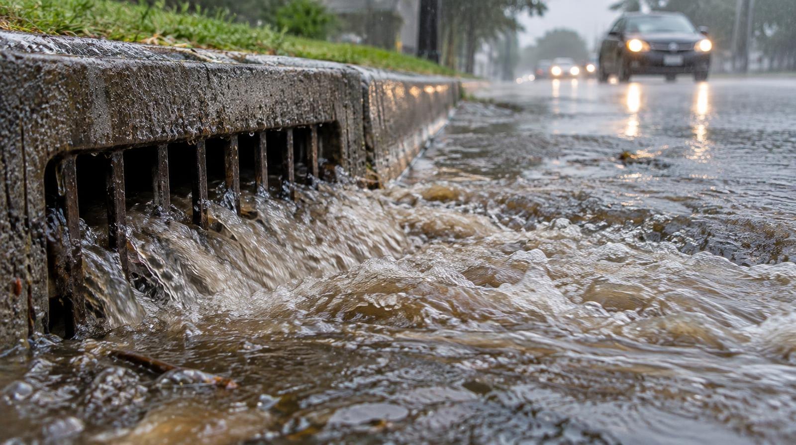
Moisture from Tropical Storm Rachel is forecast to reach northern Utah on Sunday, bringing the threat of flash flooding to Sandy and surrounding communities.
The remnants of Rachel, which briefly reached hurricane strength before weakening over cooler water, are expected to combine with a separate low-pressure system sliding south from Alaska. The collision could deliver 1 to 3 inches of rain across much of Utah over a five-day stretch from Saturday through Wednesday, KUTV reported. Sunday and Monday carry the highest flood risk.
The NWS Weather Prediction Center warned Friday, Oct. 9, that Rachel's moisture would create the potential for locally heavy rainfall and flash flooding from Southern California into Utah.
AccuWeather projects 1 to 2 inches of rain across a wide swath from Baja California to central Utah, with 2 to 4 inches possible near the storm's track. Where the heaviest rain falls, potentially at rates of 1 to 3 inches per hour, AccuWeather warned the flooding could be life-threatening.
National Weather Service meteorologist Hayden Mahan in Salt Lake City said urban areas and main-stem rivers face particular risk from the projected rainfall, according to KSL.
Sandy knows what that looks like. On Aug. 13, heavy rain flooded the city. Mayor Monica Zoltanski described it the next day as a "hundred-year storm," saying the volume of water overwhelmed the city's infrastructure. Nearly two miles of 1300 East closed from 9400 South to 10600 South, flood water covered two lanes of I-15 near 9800 South, and motorists were stranded across the city, KUTV reported at the time.
Ahead of Rachel, Sandy city officials said the city's emergency manager, public safety crews and parks crews are monitoring the forecast, according to KUTV. The Utah Department of Transportation has also prepared. UDOT spokesman John Gleason said crews cleared drains and positioned heavy equipment loaders and plows near burn scars in case of mudslides or debris flows.
2News Chief Meteorologist Lindsay Storrs called the storm's forecast track unprecedented in her experience. "This is probably the first time in my 26-year career that I have seen a cone of uncertainty with a tropical system move all the way through the state of Utah," Storrs said.
Storrs said burn scar areas in southern and central Utah are among her biggest concerns because fire-scarred ground absorbs water poorly, raising the risk of mudslides and debris flows. She also recommended residents bring in Halloween decorations and patio furniture by Friday evening, Oct. 9, ahead of increasing winds.
As of Thursday, Oct. 8, the National Weather Service in Salt Lake City was meeting with partner agencies on whether to issue a flood watch. No formal watch had been announced as of Friday, Oct. 9. Residents can check weather.gov for the latest alerts.
Over 75% of Utah remains in severe or extreme drought, according to KSL. Mahan said the storm will not significantly boost reservoirs but could improve soil moisture in the mountains, which helps snowpack runoff efficiency in the spring. Snowpack accounts for about 95% of Utah's water supply.
.webp)